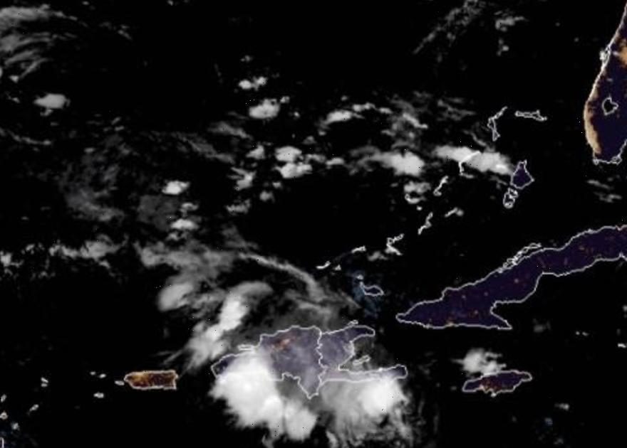
After making landfall over the Dominican Republic on Wednesday, Tropical Storm Fred weakened into a disorganized tropical depression and moved back out over water on a course that could take it to Florida as a heavy rainmaker within days, forecasters said.
It was drenching Hispaniola, the island that the Dominican Republic and Haiti share.
Early on Wednesday, Fred was about 110 miles east of Guantanamo, Cuba and moving west-northwest at 16 mph with maximum sustained winds of 16 mph.
The U.S. National Hurricane Center in Miami said Fred’s forecast track put it across the southeastern Bahamas Thursday, along or just north of eastern and central Cuba later Thursday and Friday and near the Florida Keys and southern Florida on Saturday.
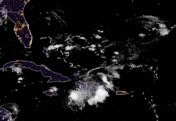
“Beginning Friday into next week, heavy rainfall associated with Fred will impact Florida and parts of the Southeast,” the center said. “Through Monday, 3 to 5 inches of rain is anticipated across the Keys and the southern Florida Peninsula, with isolated maximum totals of 8 inches.”
“Heavy rainfall could lead to … urban and small stream flooding, along with possible rapid river rises,” it added.
The center said Fred is expected to slowly strengthen Friday and over the weekend.
After a month with no named storms in the region, Fred became the sixth of the Atlantic hurricane season late Tuesday.
At one point, about 300,000 homes and businesses had lost electricity in the Dominican Republic and more than a half million were affected by swollen rivers that forced part of the aqueduct system to shut down, The Associated Press reported, citing government officials.
Source: Read Full Article